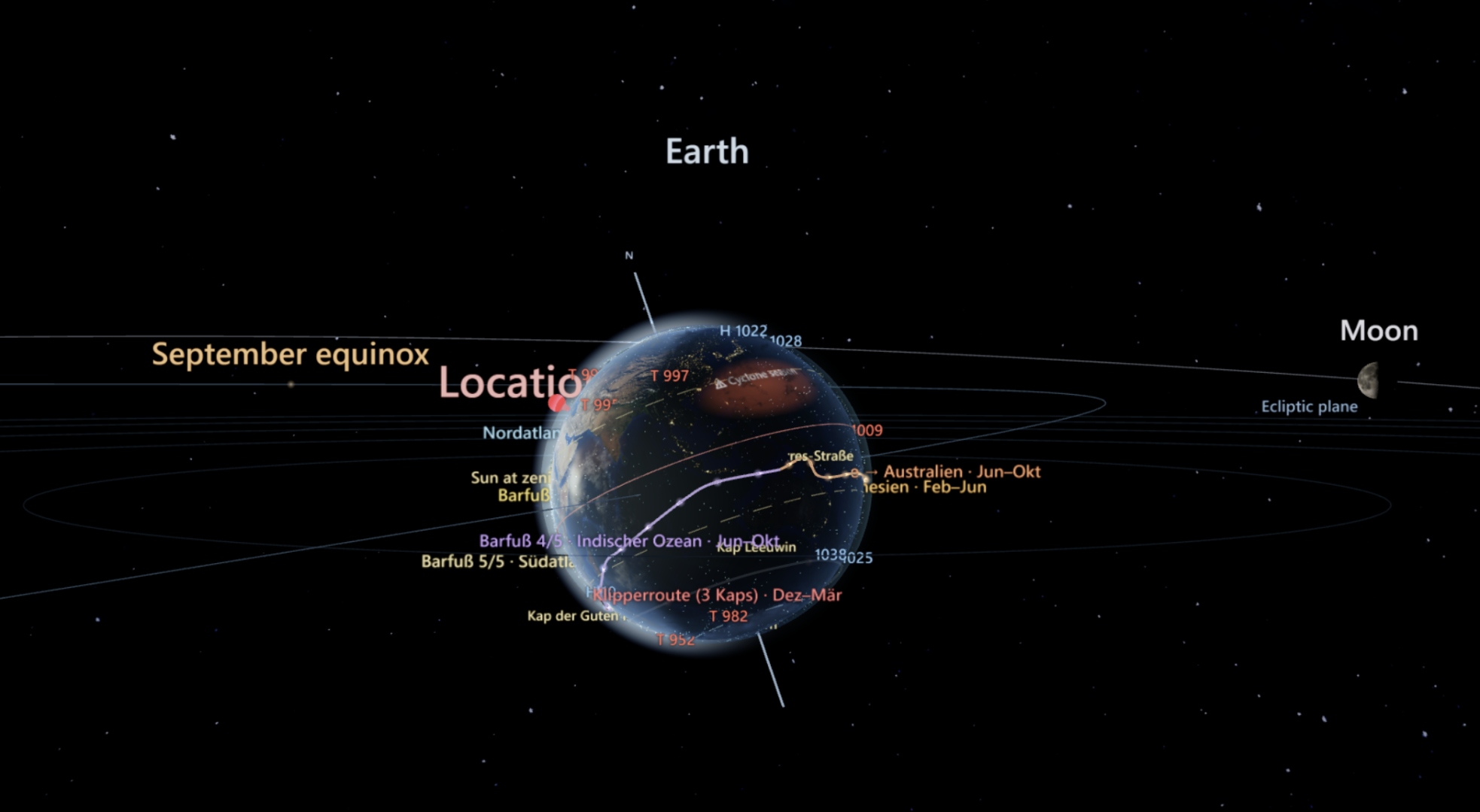
Planetary view
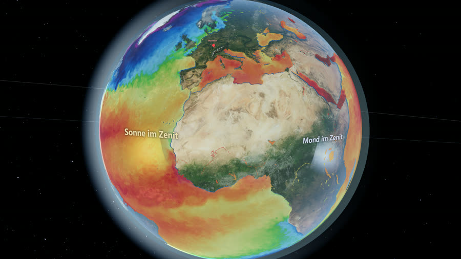
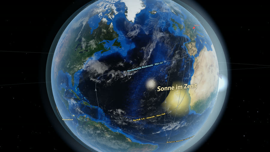
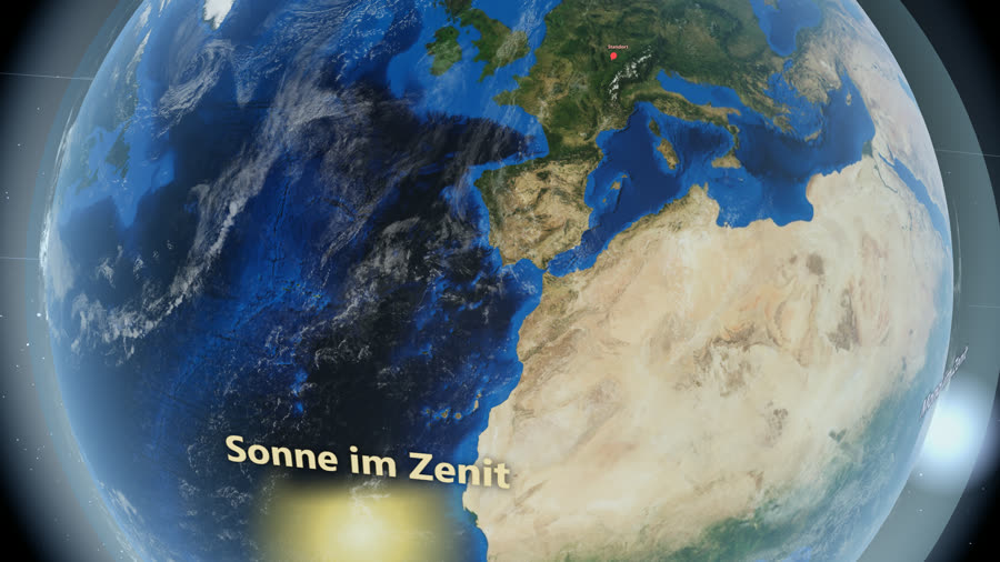
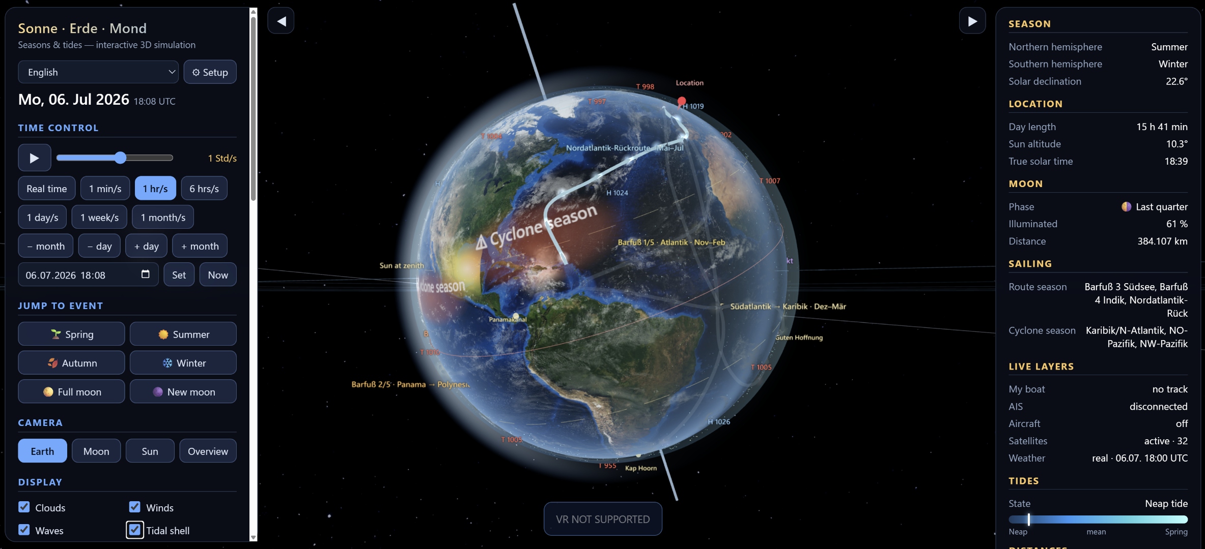
Interactive Earth rendering with day and night, seasons, winter and summer states, selectable dates and adjustable interaction sensitivity.
Ocean and atmosphere
Clouds, winds, ocean currents and tide visualization support weather and ocean understanding at planetary scale.
Global movement
Optional world traffic layers can show ship positions, aircraft, satellites and the ISS through supported external data services.
Sailing and route context
Habiterra is also meant as a planning and exploration tool for barefoot routes and demanding ocean passages including Cape-related route scenarios.
Scientific and exploratory use
The project combines educational visualization, exploratory analysis and live-style data overlays in a single Quest-ready browser and VR app concept.
Geo events (Premium)
Premium add-on: live earthquakes (magnitude, depth), around 1600 volcanoes with photos, the Ring of Fire, and 150 notable shipwrecks — most with photos.
Sky & near-Earth objects
Constellation lines and names over a real star map (free), plus Premium add-ons: the eight planets, famous comets and near-Earth asteroids with their live orbits from NASA/JPL — and around 80 undersea features (trenches, ridges, seamounts).